


2018 Pie Rides

Michael Black • 60 mi course • 3 hr 47 min

Chris Smithwick • 100+ mi course • 7 hr 33 min

Niki Milleson • 60 mi course • 4 hr 43 min

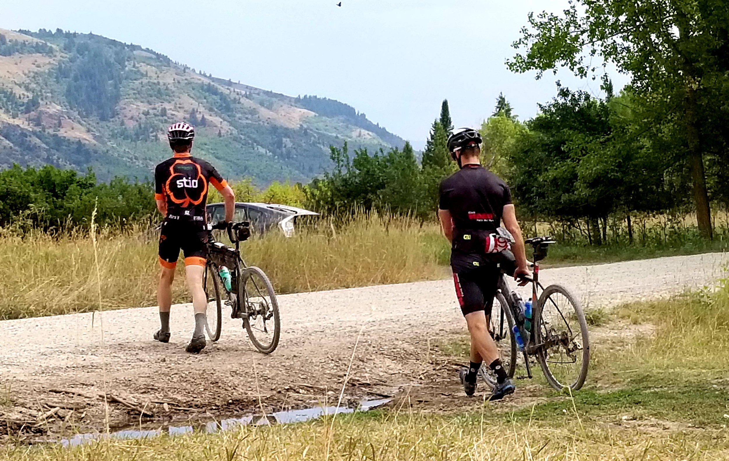

This course is a difficult one. Even the 60 mile has 6,000' of climbing. The 110 mile course has almost 10,000' of climbing. This is a self-supported race. There are no/minimal course markings. GPS tracks are available below. Both courses are very easy to follow. There are sections of the 100 mile course that are not accessible by vehicle. Be prepared. You are responsible for you.
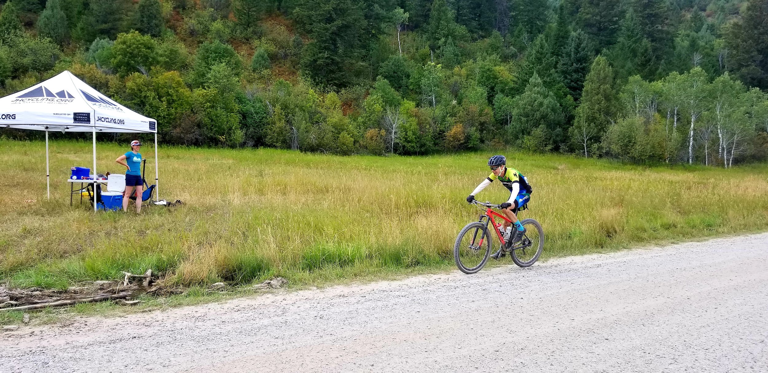
There will be one aid station located at the 60 Mile Turnaround. It will have water, some food and mechanical aid.
START TIME & LOCATION
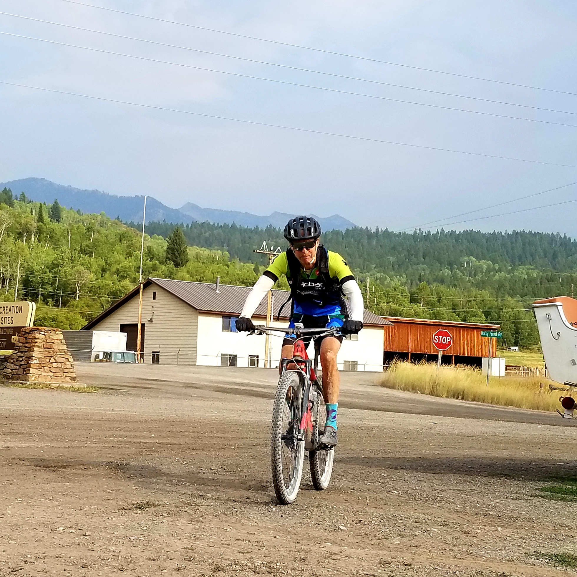
8am at the McCoy Creek pull out, +/- 3 miles south of Alpine. Map to start HERE
There is limited parking at the pull-out. Please consider car pooling, or better yet, park at the grocery store in town and ride to the start.
Check-in & Number Pick-Up: 7:15am - 7:45am
Start-line meeting: 7:50am - 8:00am
Start: 8:00am
RACER INFO
This is a self-supported race. There are no/minimal course markings. GPS tracks are available below. Both courses are very easy to follow. There are sections of the 100 mile course that are not accessible by vehicle. You should be prepared for any mechanical issues.
SUGGESTED GEAR
• Front/rear blinking lights: You will encounter ATV, trucks, dirt bikes etc. Keep yourself visible, keep your eyes up, keep safe.
• Two tubes, patch kit, multi-tool, chain tool
• Food, drink
• Jacket
*** Note: You must be self-sufficient. There are sections of the course that are not reachable by vehicle. You are on your own.
AID STATIONS
There will be an aid station at the 60 Mile Turnaround. It will have water, limited food and limited tools. There are water spigots available at the camp ground just previous to the aid station. The aid station will provide water until it runs out. You should plan on carrying the food you need. There will be very limited food at the aid station.
FINISH LINE
The start line is not the finish line. The finish line is at the top of a small hill, approximately 0.5 miles from the start. There will be flagging on a telephone pole to denote the finish line.
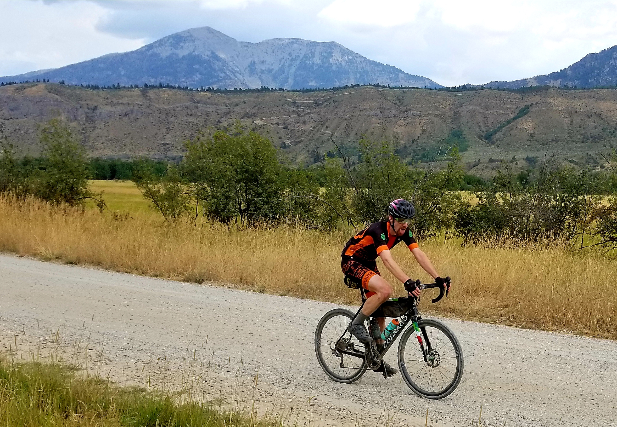
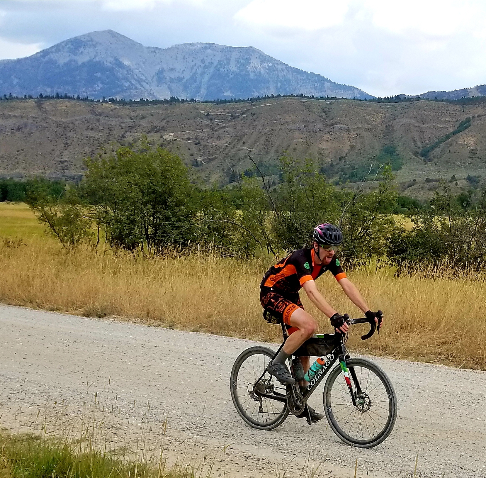
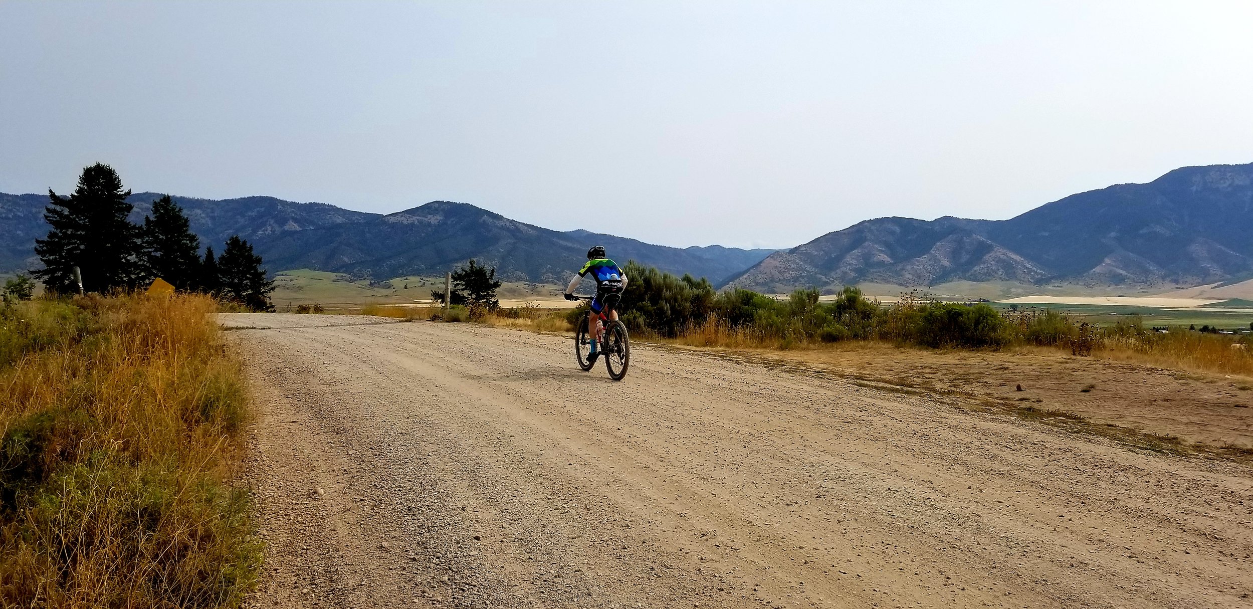
Piccolo Fondo • 60 miles, 6,200 feet of climbing

Strava file HERE • Google Earth file HERE • Download GPX file HERE • Relive Course Overview HERE
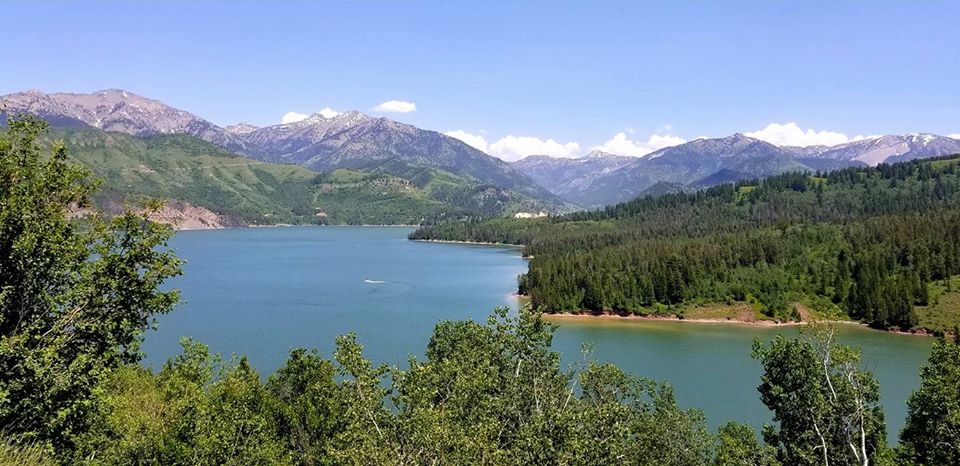
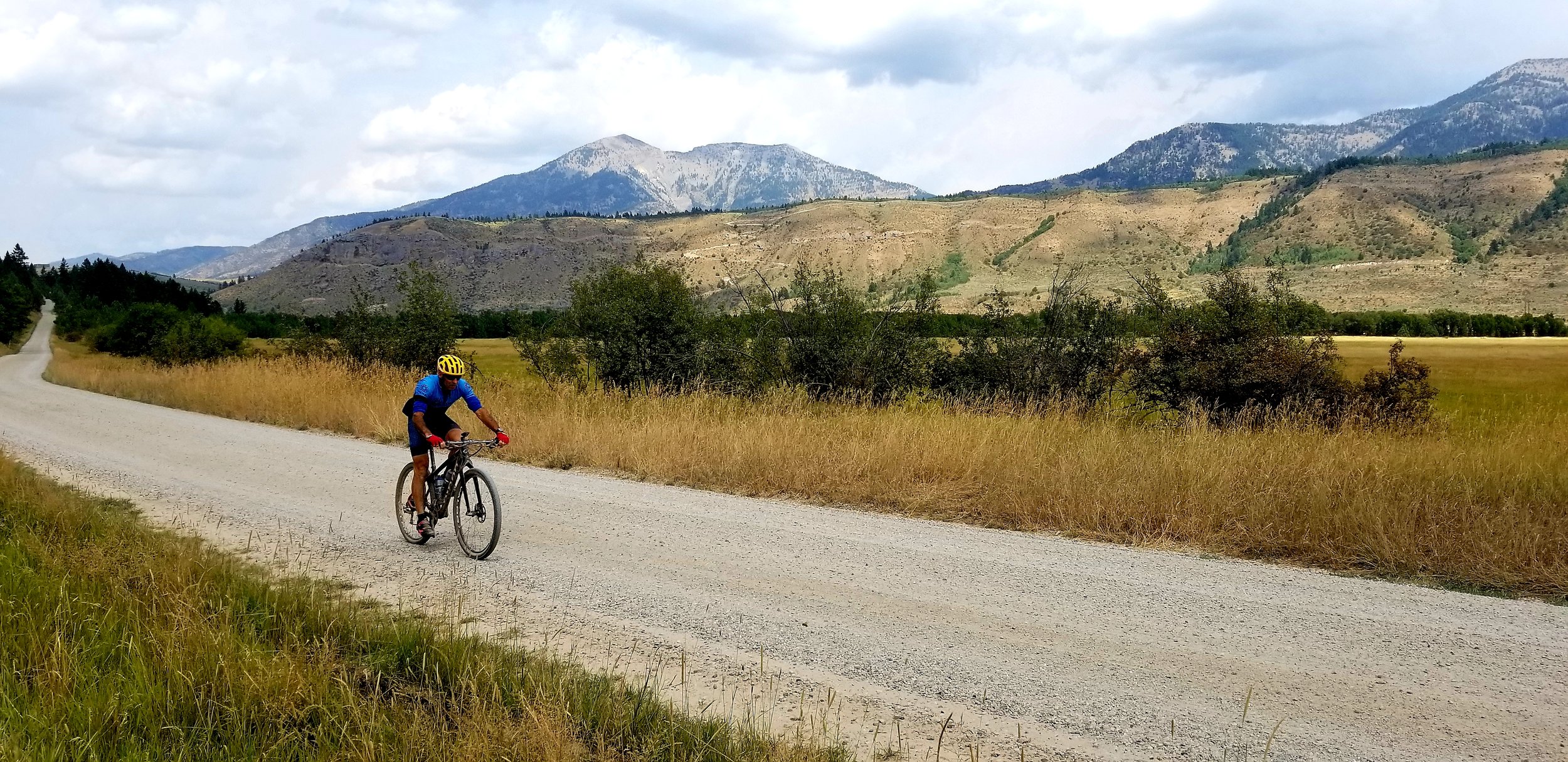
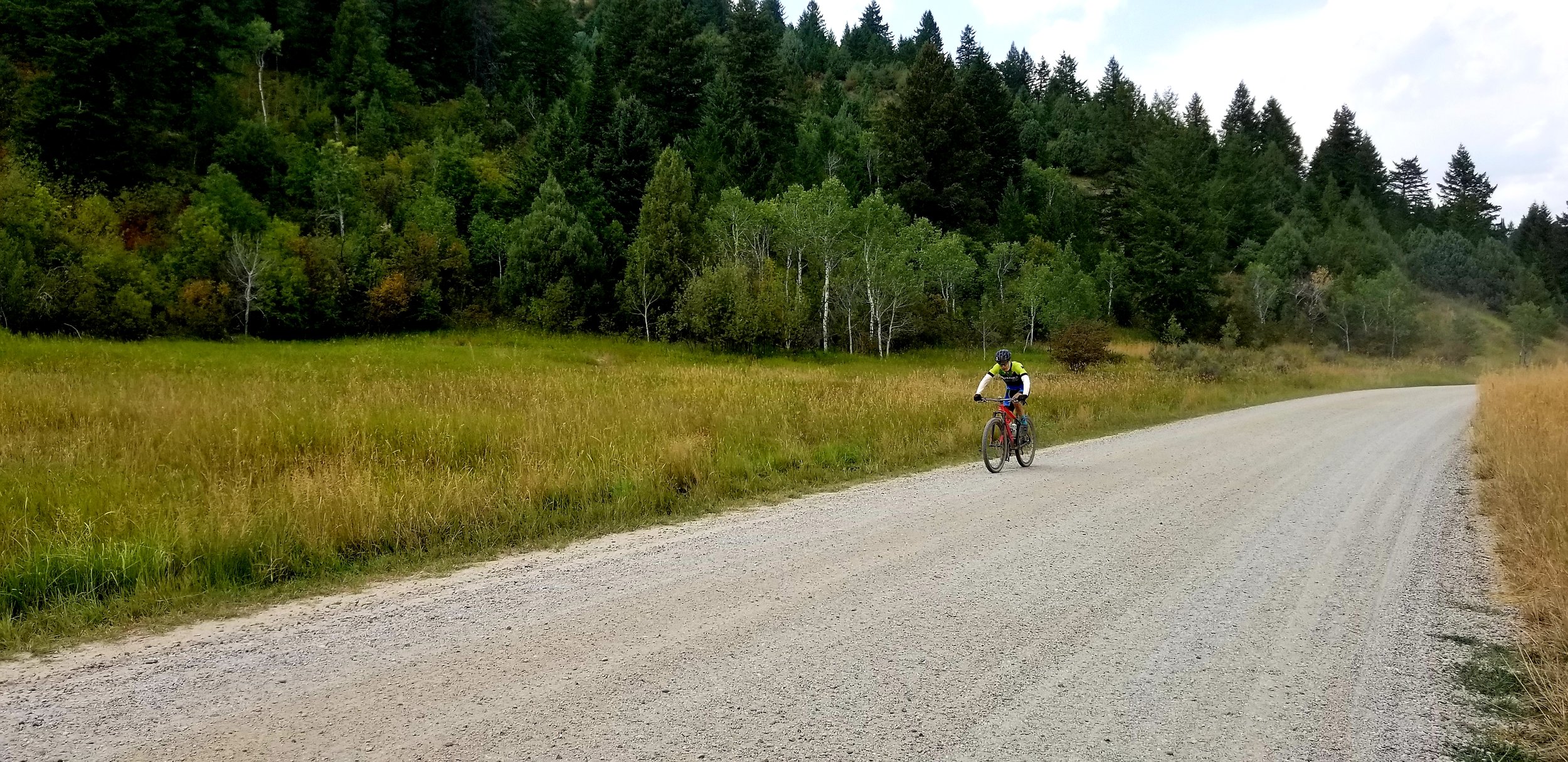
The 60 mile course is an out and back on dirt road. You'll enjoy some flat to rolling terrain before taking on the biggest climb on the course. After summiting, you'll be rewarded by a long and fast (keep your speed in check!) descent to take you past Calamity Campground and to the 60 Mile Turnaround. Check in with the aid station, grab some water, and retrace your route up and over the climb and back to the finish!
*Note: The finish line is NOT the parking lot where you started.
The finish line is at the top of a short roller approximately .5 miles from the parking lot. After finishing, please roll through, back to the parking lot. Do not gather at the finish line. Thanks!
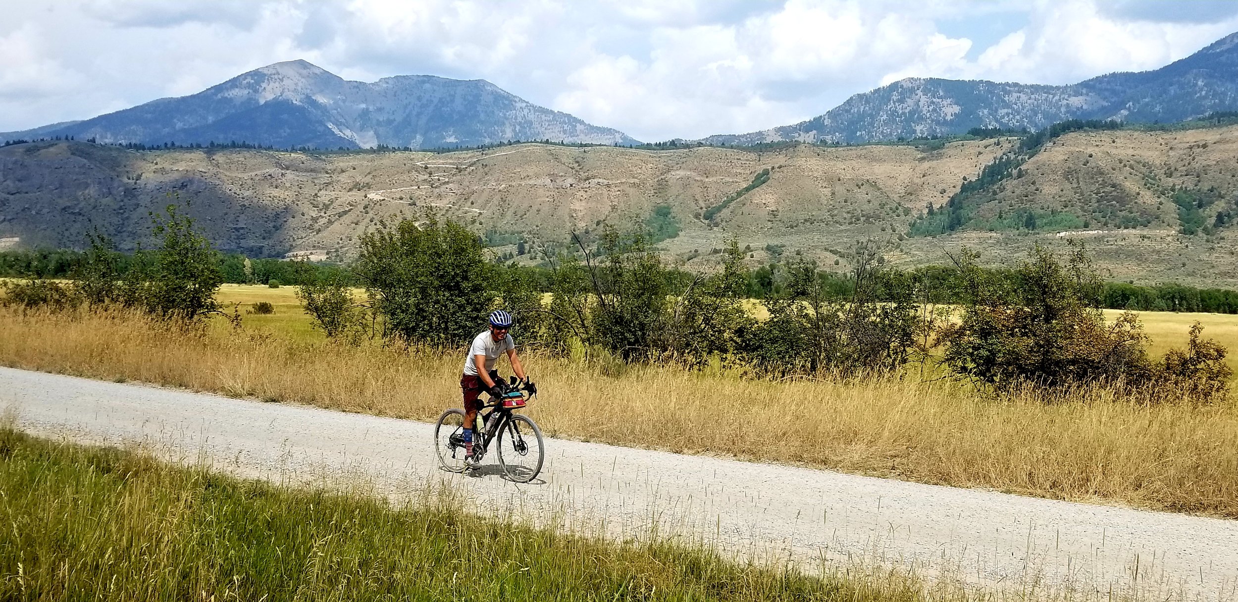
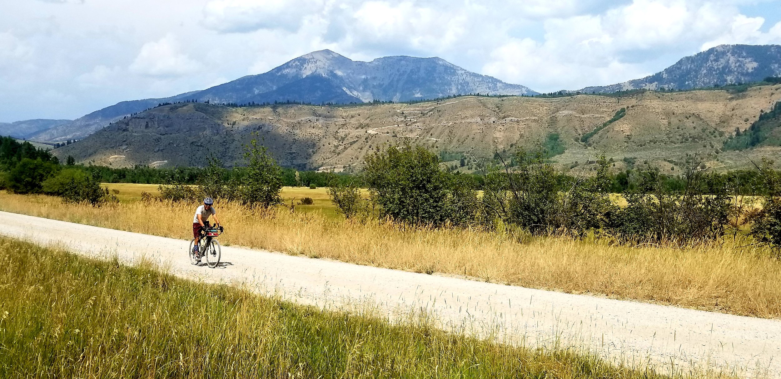
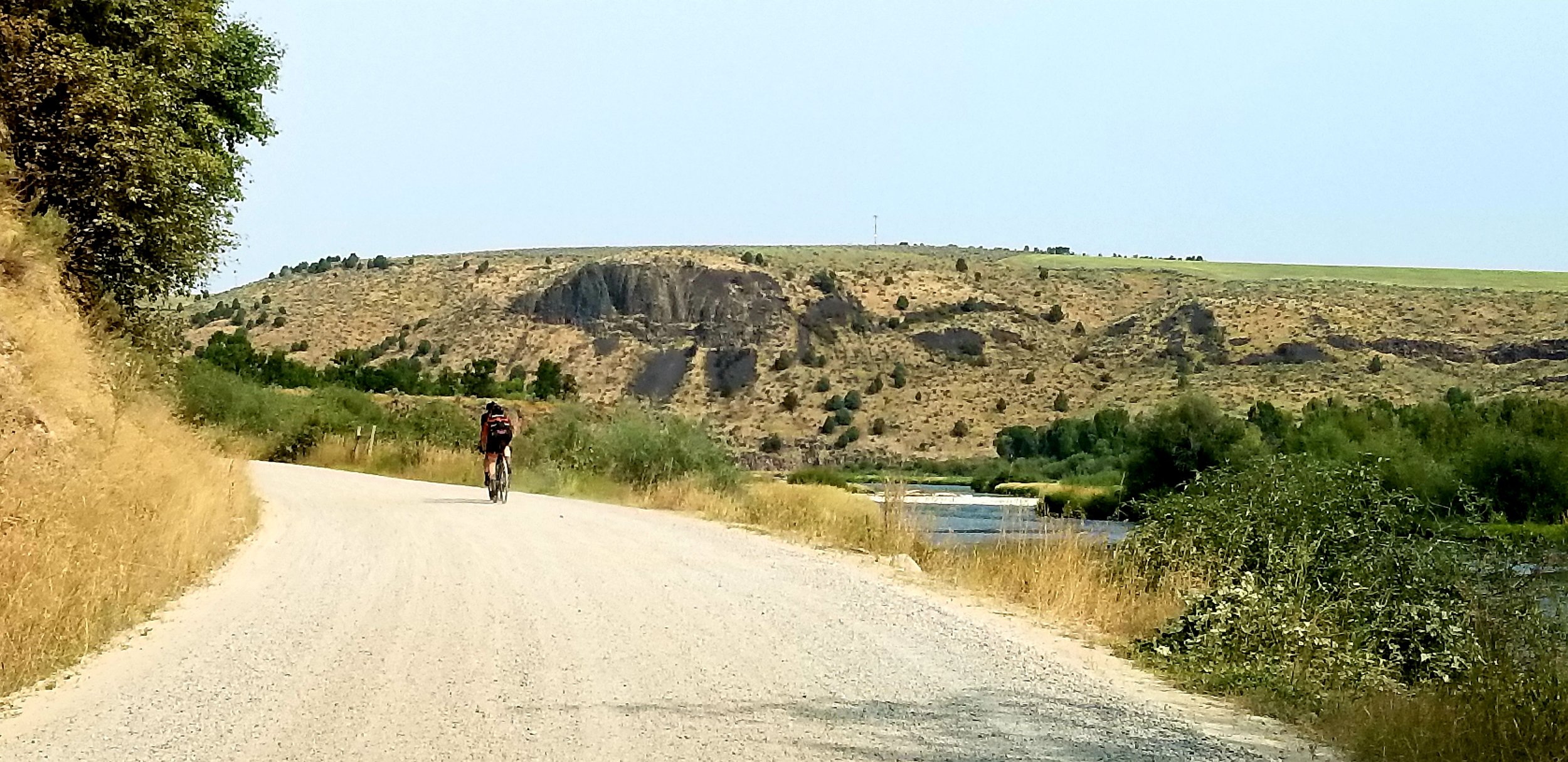
Gran Fondo • 113 miles, 9,500 feet of climbing

Download GPX file HERE • Download Google Earth file HERE
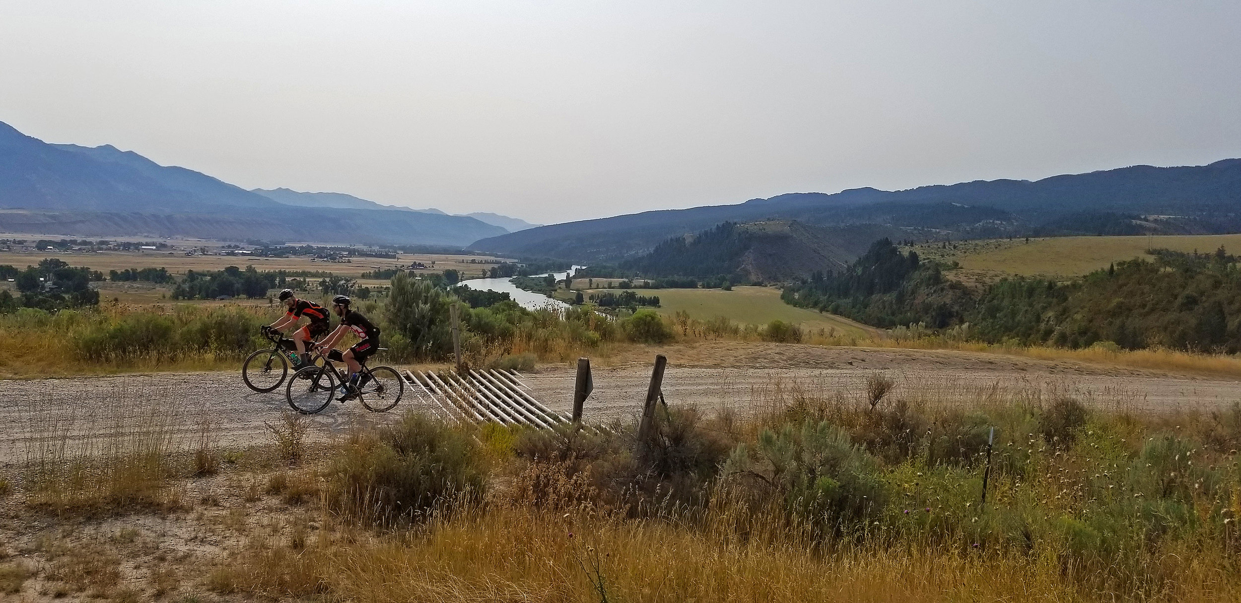
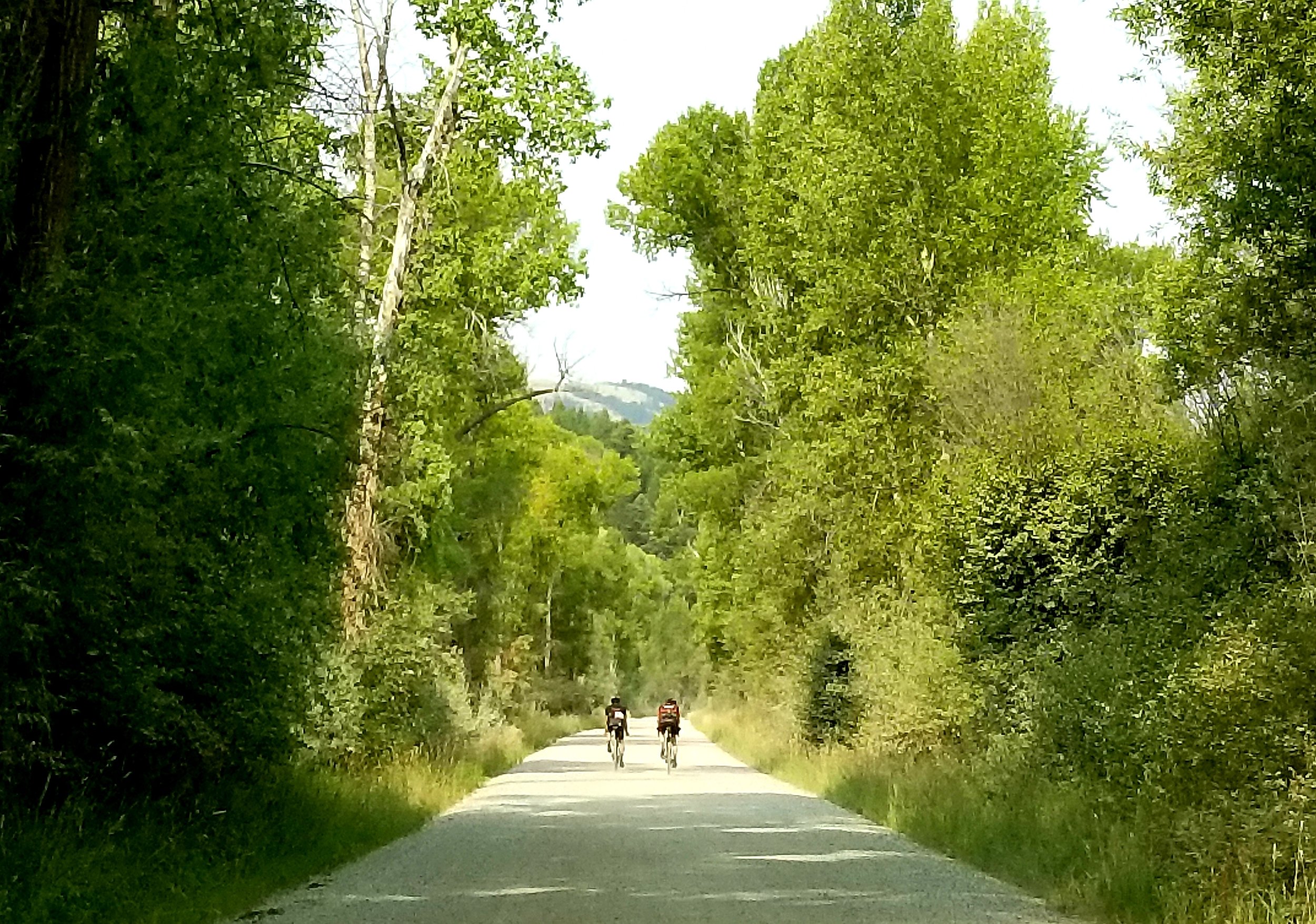
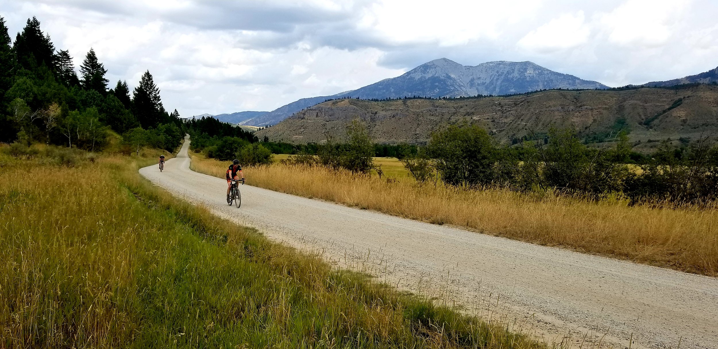
The 100 mile course is an out and back, with a lollipop on the end. It is 99.9990756% dirt. (There is a 50 foot section of pavement that you'll cross twice.) The first 30 miles and last 30 miles of your day will be the same as the 60 mile course above. What's in between? That's a great question!
After the 60 Mile Turnaround/Aid Station, you will continue on flat roads along the Snake River, and then a steep but short climb. You'll pass Fall Creek Falls and at 41 miles from the start you will turn left onto RD77. (PHOTO OF THIS TURN)
Continue up canyon; at 47.5 miles from the start, look left and you will see the Rash Canyon Rd. This is the point at which you will rejoin after completing the lollipop. After passing this rejoin-point, continue up canyon until you reach a "Y" in the road. Stay left (which is the "main" road) (PHOTO) and continue climbing on RD77. At mile 53.5 from the start, you will turn left onto a smaller dirt road/double track. (PHOTO OF THIS TURN)
The start to this road is STEEP, but very short lived. Continue across the top of this plateau on rolling terrain (PHOTO) with a few short, steep pitches. Keep an eye out for cows in this section. At 58 miles from the start you will approach a "Y", go left. Soon afterward you will encounter a slightly technical, steep, short downhill with deep ruts. This would be a good time to pay attention. After this descent, proceed uphill through a gulch. This is a tough climb, it has loose sections. Only the strongest riders will clean this climb. Most will walk a small, <100 meters, section of it. Stay straight, do NOT turn off this climb onto any of the small "trails." At the top of this climb, you are at the top of the course and at 7,000'. Continue straight, and downhill. At 62 miles from the start you will come to a "T" intersection, go left down Rash Canyon. The sign in this photo is attached to a tree you'll pass on your right. (PHOTO OF THIS TURN)
Feeling good? You should eat and drink here, because you're about to have a 3.5 mile descent that will keep your hands on the bars and a smile on your face. There is a small washout partway down the descent that will probably require a dismount. At 65.5 miles from the start you will come to a "T" intersection. You are now at the end of the lollipop and will turn right, onto the same road you previously climbed. Ride downhill until, at 72 miles from the start, you turn right and retrace your route past the waterfall, past the 60 Mile Turnaround, over the first big climb, and back to the finish.
*Note: The finish line is NOT the parking lot where you started.
The finish line is at the top of a short roller approximately .5 miles from the parking lot. After finishing, please roll through, back to the parking lot. Do not gather at the finish line. Thanks!

BAIL-OUT POINT
There is a bail-out point near the 60 Mile Turnaround. By following the red route, you will cross the river just below the dam, pass a campground and arrive at an intersection with the highway. Turn right and ride the highway back to the start area.
